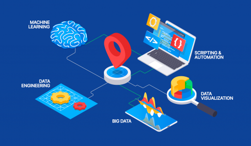
Spatial Data Visualization and Machine Learning in Python
- 10.11.2022
- 24
Spatial Data Visualization and Machine Learning in Python
Last updated 06/2020
MP4 | Video: h264, 1280x720 | Audio: AAC, 44.1 KHz, 2 Ch
Genre: eLearning | Language: English + srt | Duration: 21 lectures (4h 42m) | Size: 1.46 GB
Building an Analytics Dashboard to Analyze and Predict Quakes using Bokeh and Python
What you'll learn
Data Visualization
Data Analysis
Data Transformation and Manipulation
Python and Bokeh
Geospatial Machine Learning
Geo Mapping
Python Programming
Creating Dashboards
Requirements
Basic Understanding of Python
Little or no understanding of GIS
Basic understanding of Programming concepts
Basic understanding of Data
Basic understanding of what Machine Learning is
Description
Welcome to the 'Spatial Data Visualization and Machine Learning in Python' course.
In this course we will be building a spatial data analytics dashboard using bokeh and python.
Bokeh is a very powerful data visualization library that is used for building a wide range
of interactive plots and dashboards using the python programming language.
It also converts python code into html and jаvascript code, which allows plots to be
hosted on servers and displayed in web browsers.
We be building a predictive model that we will use to do a further analysis, on our data
and plot it's forecast results alongside the dataset that we will be focusing on.
We will be visualizing our data in a variety of bokeh charts, which we will explore in depth.
Once we understand each plot in depth, we will be equipped with the knowledge to build a dashboard
that we will use to analyze our data.
And once we have built our dashboard, we will then create a lightweight server that we will use to
serve our dashboard and make it accessible via a URL.
You will learn how to visualize spatial data in maps and charts
You will learn data analysis using jupyter notebook
You will learn how to manipulate, clean and transform data
You will learn how to use the Bokeh library
You will learn machine learning with geospatial data
You will learn basic geo mapping
You will learn how to create dashboards
Who this course is for
Python Developers at any level
GIS Developers at any level
Developers at any level
Machine Learning engineers at any level
The curious mind
Homepage
https://anonymz.com/?
https://www.udemy.com/course/spatial-data-visualization-and-machine-learning-in-python/
Screenshots
#
https://rapidgator.net/file/43c829bb70aeb12a3e9b2ccad2f8d1fa/Spatial_Data_Visualization_and_Machine_Learning_in_Python.part1.rar.html
https://rapidgator.net/file/3fc26fcd950195e6d448c0f6be4ba992/Spatial_Data_Visualization_and_Machine_Learning_in_Python.part2.rar.html
https://uploadgig.com/file/download/95fB26dd01d78dae/Spatial%20Data%20Visualization%20and%20Machine%20Learning%20in%20Python.part1.rar
https://uploadgig.com/file/download/af71656c5e043616/Spatial%20Data%20Visualization%20and%20Machine%20Learning%20in%20Python.part2.rar